
PROJECT CASE STUDY · GEOSPATIAL AI
Automated Geomorphological Feature Detection Using Deep Learning
Can deep learning identify geological features across massive LiDAR elevation datasets? Digital Maddox developed and evaluated a custom detection pipeline to investigate this challenge.

The challenge
Identify candidate geological features in very large, high-resolution elevation datasets while working around limited labeled training data and computer vision library constraints.
The solution
A custom CNN-based detection workflow using transfer learning, raster processing, and tiled inference to generate geographic feature detections.
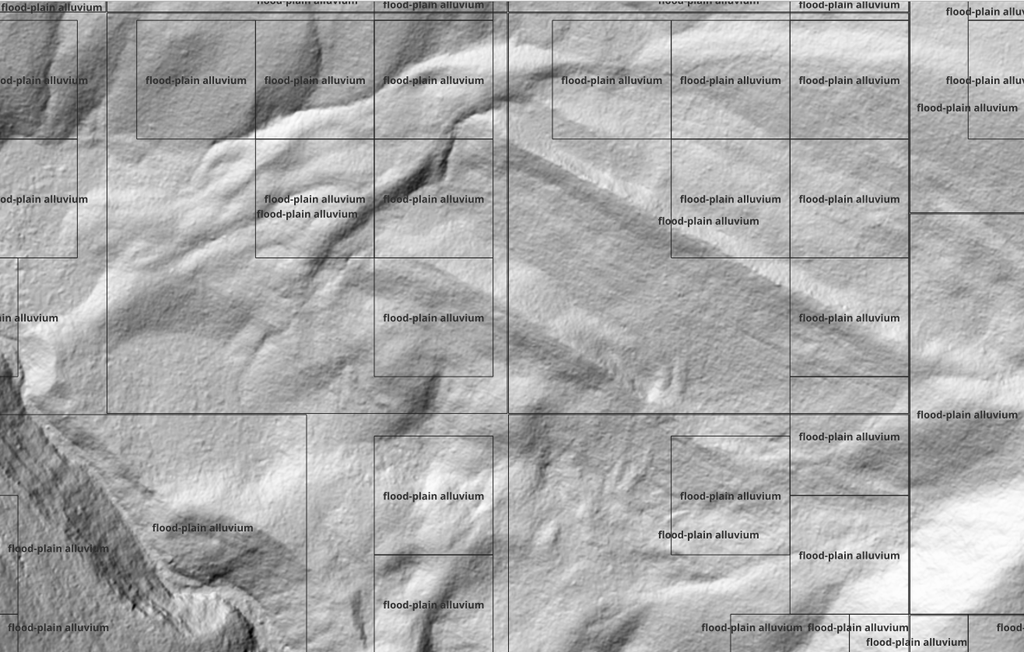
Model Detection Results
Findings and lessons learned
The experiment produced candidate detections, with smaller detection areas showing promising correspondence to alluvial features. It also identified opportunities to improve training data, detection filtering, and model selection.
Explore the technical research
Applying Deep Learning and Computer Vision to LiDAR Blog Series